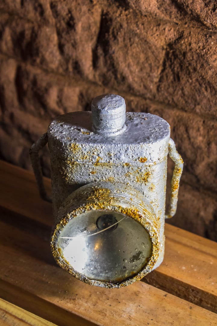
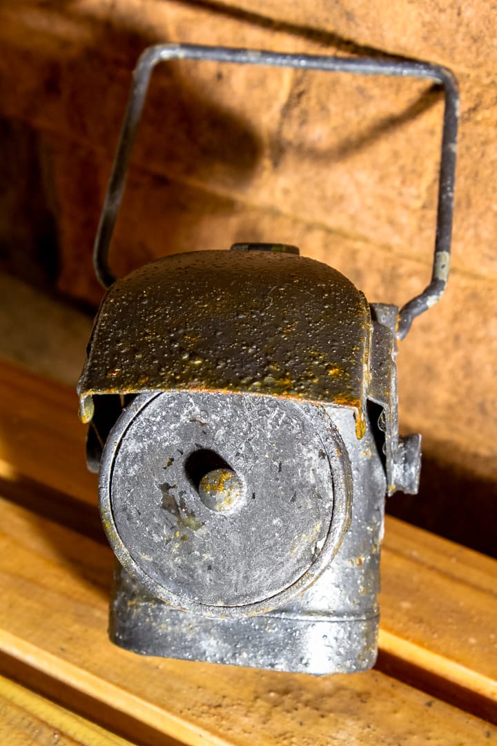
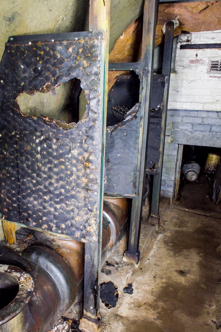
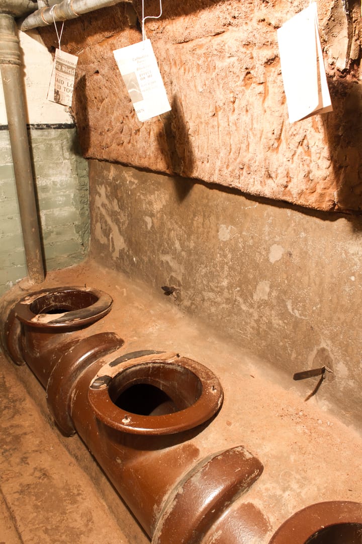
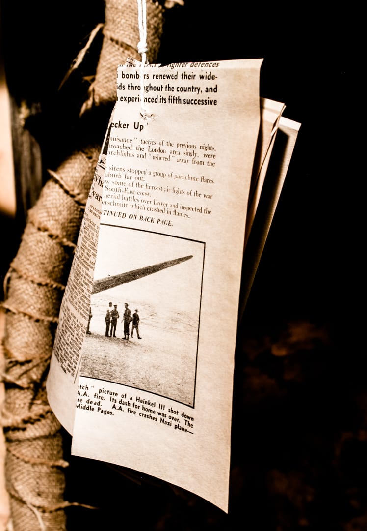
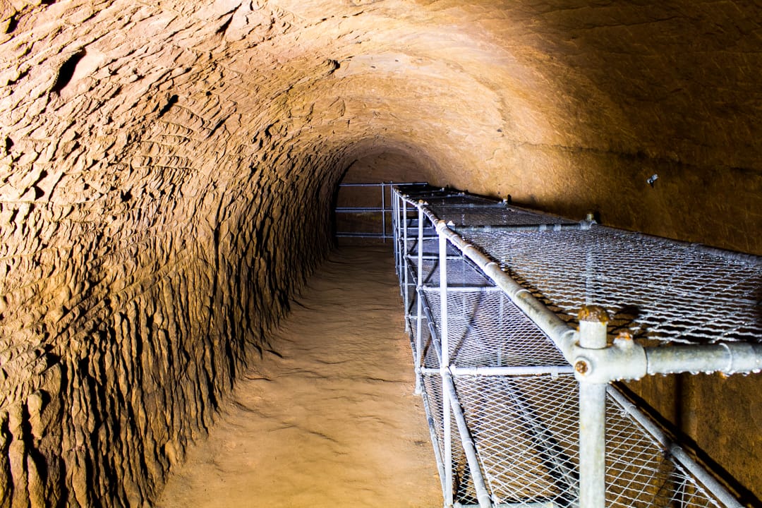
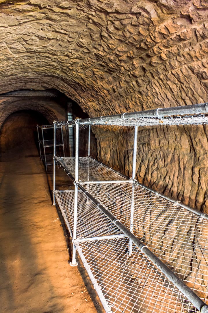
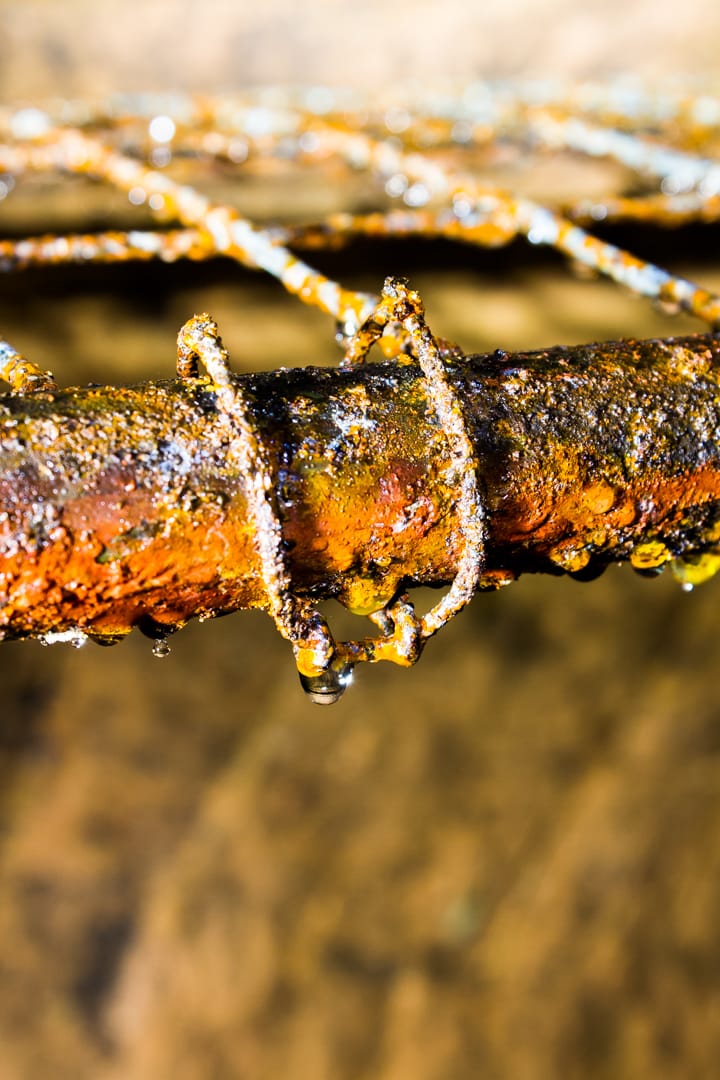
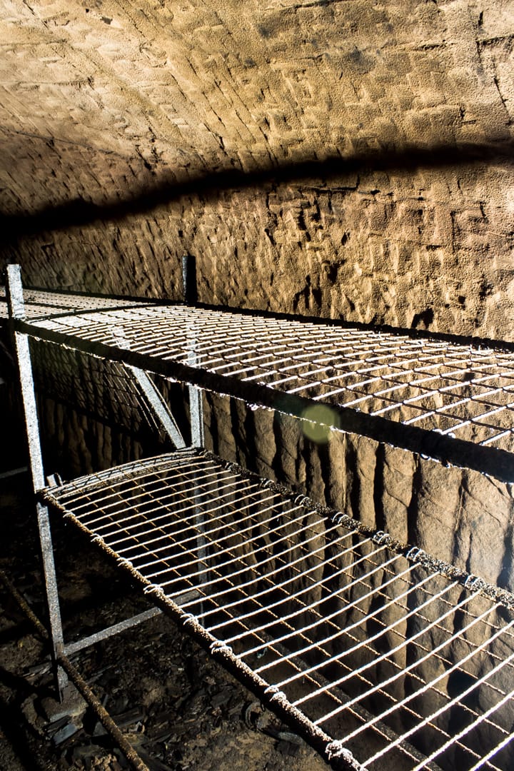
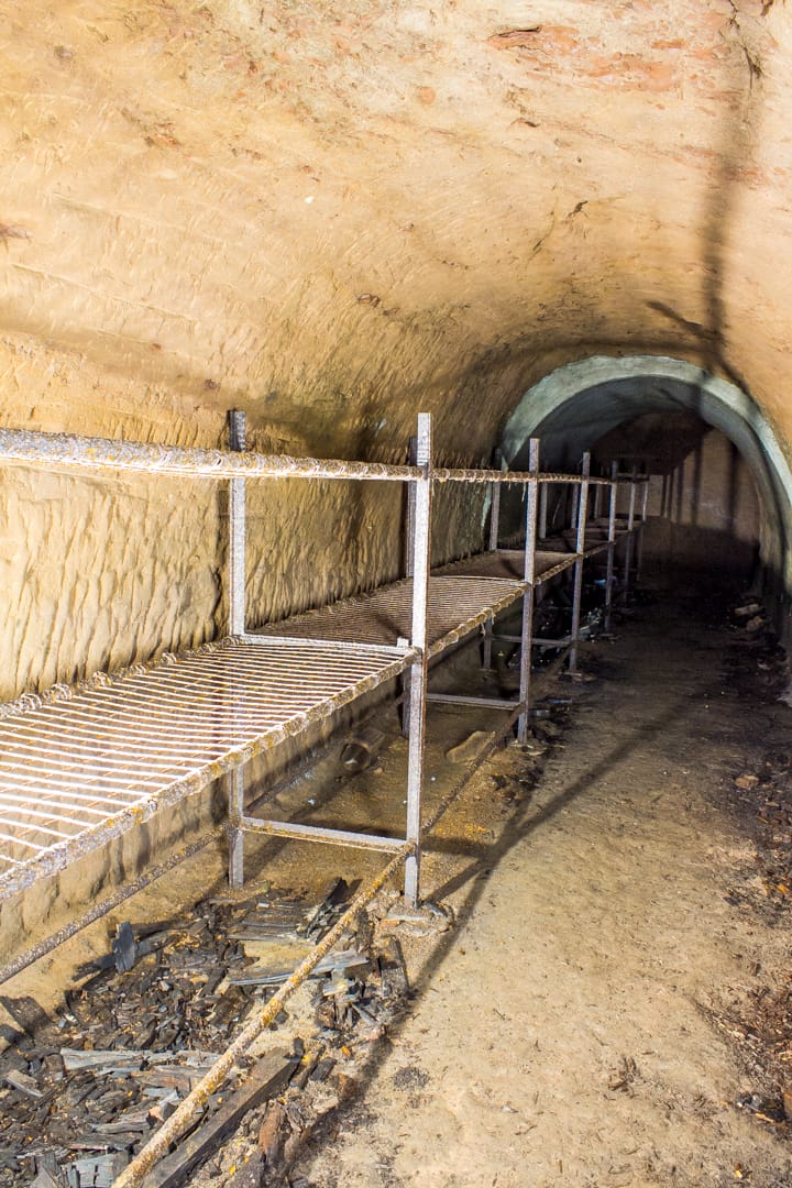
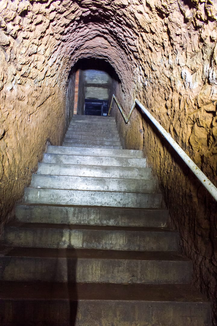
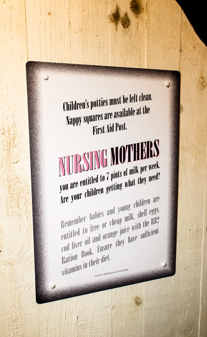
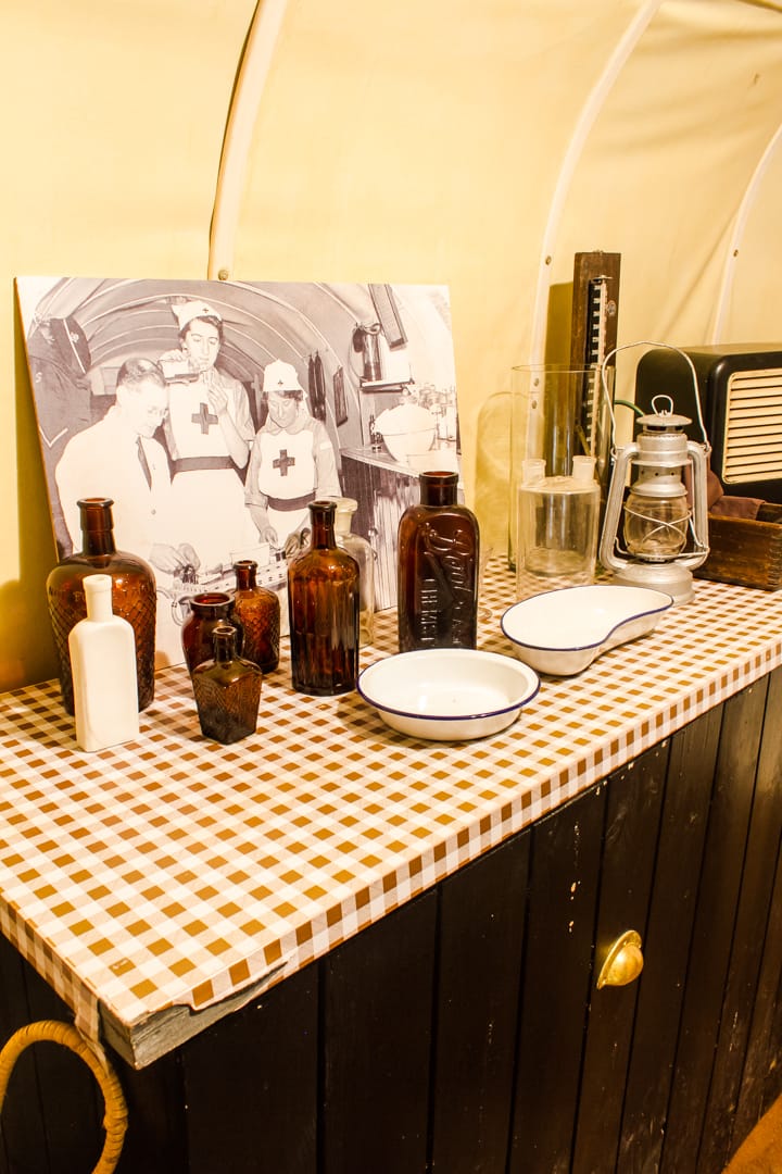
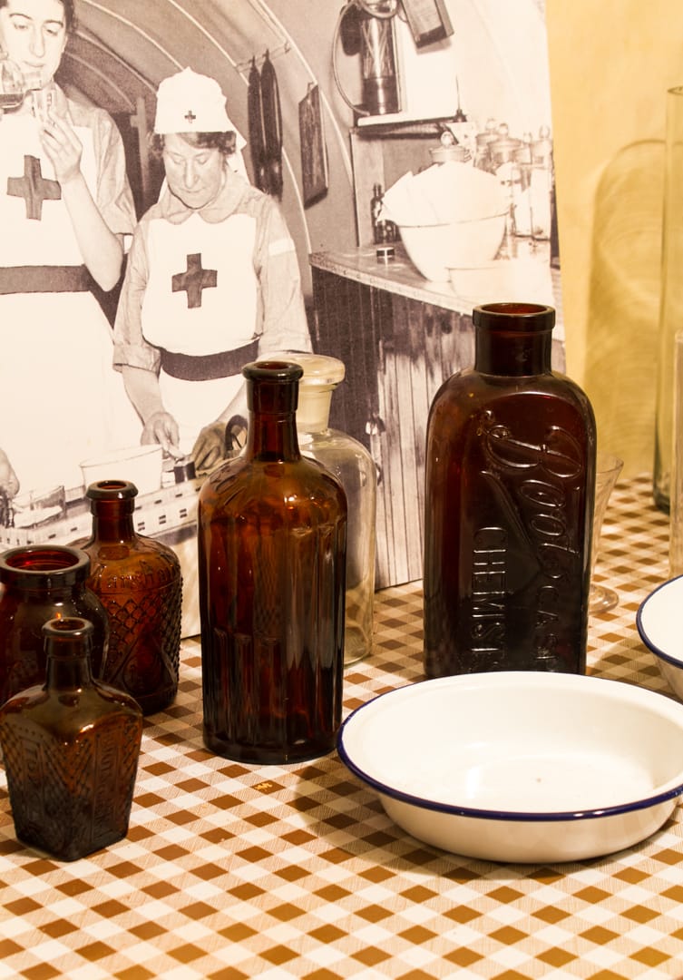
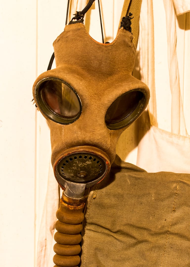
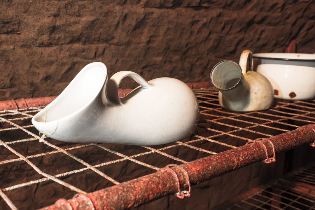
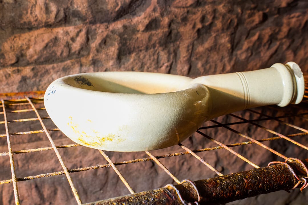
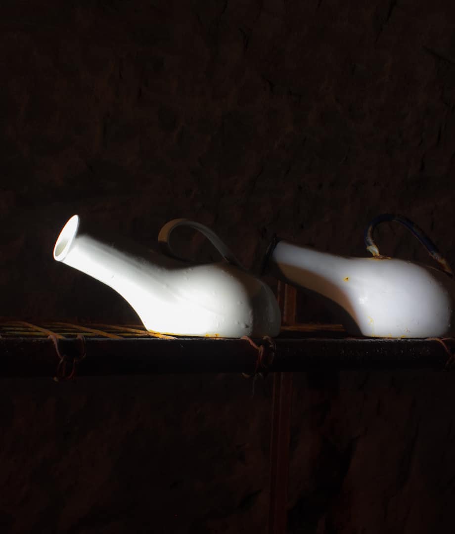
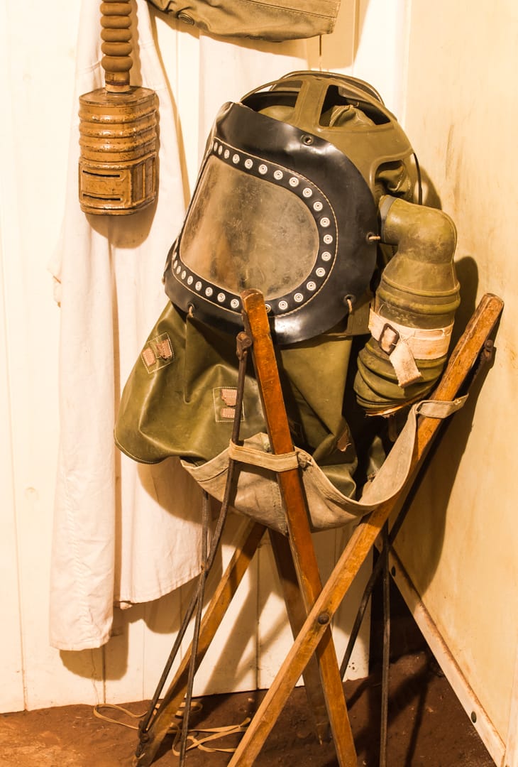
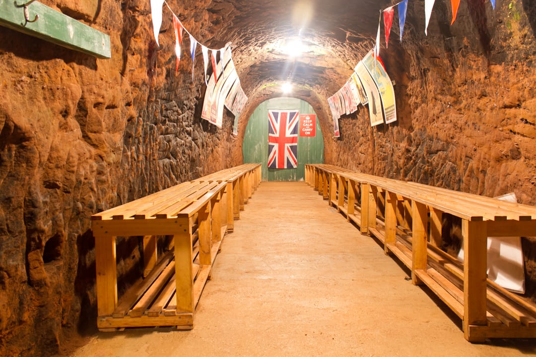
Capturing History from Above: The Use of Drone Photography in Documenting Former Mining Sites
Former mining sites are more than just remnants of industrial activity; they are silent storytellers of human endeavor, environmental change, and economic transformation. Preserving the history and understanding the impact of these sites is crucial for education, conservation, and land management. In recent years, drone photography has emerged as a powerful tool in capturing detailed and expansive images of these often vast and inaccessible areas, revolutionizing how we document and study former mining sites.
The Challenge of Documenting Former Mining Sites
Mining sites, especially those abandoned or reclaimed, can span large areas with complex terrains. Traditional methods of documentation, such as ground surveys and manned aerial photography, have limitations:
- Accessibility: Many former mines are in remote or hazardous locations, making ground surveys dangerous or impractical.
- Cost: Hiring manned aircraft for aerial photography can be expensive and logistically complicated.
- Detail: Ground-level photography may not capture the full extent or layout of the site.
Drone photography addresses these challenges by combining high-resolution imaging with flexibility and cost-effectiveness.
Advantages of Drone Photography
1. High-Resolution Aerial Imagery
Drones equipped with advanced cameras can capture crisp, detailed images from various altitudes and angles. This capability allows for comprehensive mapping of the site’s features, including tailings piles, excavation pits, machinery remnants, and altered landscapes.
2. Accessibility and Safety
Drones can easily access areas that are unsafe or difficult for humans to reach, such as steep mine shafts or unstable ground. This reduces risk for surveyors and allows for more frequent monitoring.
3. Cost and Time Efficiency
Compared to traditional aerial surveys, drones are relatively inexpensive to operate and can cover large areas quickly. This efficiency enables more frequent documentation, supporting ongoing research and monitoring efforts.
4. 3D Mapping and Modeling
Using photogrammetry software, images captured by drones can be transformed into detailed 3D models of mining sites. These models provide valuable insights into site topography, structural integrity, and environmental changes over time.
Applications in Research and Conservation
- Historical Documentation: Drone imagery helps historians and archaeologists document the physical layout and features of mining sites, preserving them digitally for future generations.
- Environmental Monitoring: Researchers can track vegetation regrowth, erosion patterns, and contamination spread, informing restoration efforts.
- Land Use Planning: Accurate site maps assist local authorities and developers in making informed decisions regarding land reclamation and redevelopment.
- Public Engagement: Stunning aerial images and 3D models can be used in educational materials and virtual tours, raising awareness about mining heritage and environmental issues.
Case Studies
- The Cornish Mining Landscape, UK: Drones have been used extensively to map this UNESCO World Heritage Site, revealing intricate details of old mining infrastructure and helping prioritize conservation efforts.
- Abandoned Coal Mines in Appalachia, USA: Researchers employ drones to monitor environmental recovery and identify areas of hazardous waste, aiding remediation projects.
Conclusion
Drone photography has transformed the way we capture and understand former mining sites. By providing detailed, safe, and cost-effective aerial imagery, drones enable comprehensive documentation and analysis that was previously difficult or impossible. As technology advances, the integration of drones with other tools such as GIS and remote sensing will further enhance our ability to preserve mining heritage and promote sustainable land management.
Embracing drone photography not only helps protect the legacy of mining communities but also fosters a deeper connection between people and the landscapes shaped by human industry.